(This post has been deleted)
Michelle
SenexPetrovic
Full Spectrum
Del
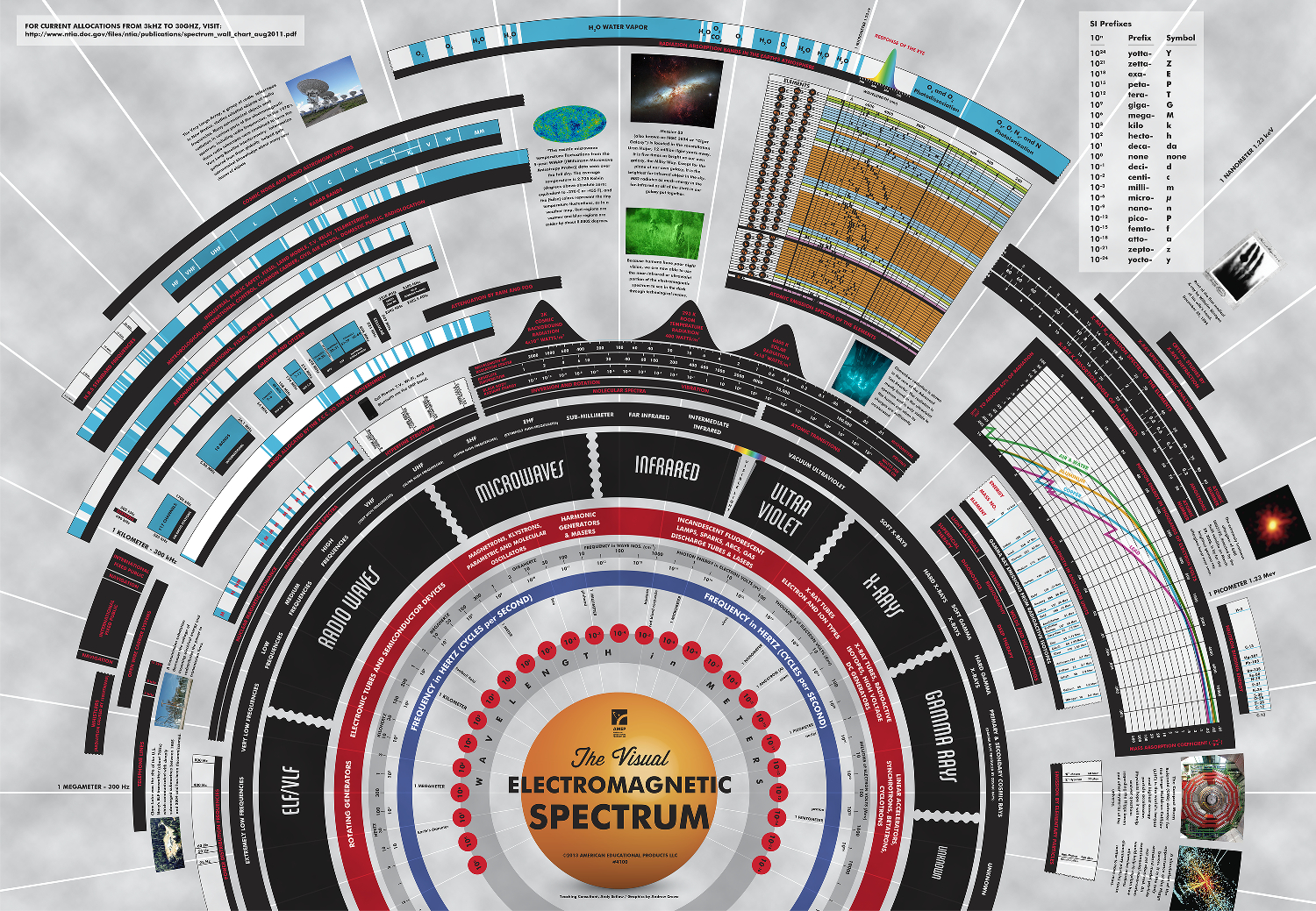
I'll be curious if Farsight can clarify if the 250nm to 1050nm range is sufficient to capture basically all ufo phenomena.
Probably just the act of capturing outside of visual range will push the public to want to capture anything beyond the visual.
Some good pics on the EM spectrum
[img_src=" "]
"]
[deleted]
Michelle
